Valkyrie Riders Cruiser Club
June 22, 2025, 04:38:45 AM *
Welcome, Guest. Please login or register.

Login with username, password and session length
Ultimate Seats Link VRCC Store
Homepage : Photostash : JustPics : Shoptalk : Old Tech Archive : Classifieds : Contact Staff
News: If you're new to this message board, read THIS!
 
Inzane 17
Pages: [1]   Go Down
Print
Author Topic: Trip Planning - Cumberland Gap Road - VA 42 - Newcastle Area And Others  (Read 985 times)
carolinarider09
Member
*****
Posts: 12399


Newberry, SC


« on: April 16, 2023, 11:30:51 AM »

I am planning a trip.   I want to take some secondary roads in WV and VA  The picture below shows the route  I have in mind.  Roads covered are as follows:

(My initial thought was about taking VA-42 but as I planned the trip other "secondary" roads got included.  )

22.  US-19
23.  WV-39/55
24.  WV-39
25.  WV-39
26.  US-220
27.  Valley Ridge Rd .(Included for overnight stay at a Hampton Inn  Smiley. )
28.  Rich Patch Rd.
29.  Craig Creek RD (VA-621)
30.  VA-42

I don't remember traveling these roads before and basically looking at the satellite images the roads look pretty good, but one never knows.  

Just checking to see if anyone has been down them recently.

Thanks in advance.  Any feedback is welcomed.

Logged

Avanti
Member
*****
Posts: 1403


Stoughton, Wisconsin


« Reply #1 on: April 17, 2023, 06:05:28 AM »

I have not been on those roads at least not that I can remember but then I tend to wonder when I ride. I sure like the area.

What Route planner are you using?
Logged

carolinarider09
Member
*****
Posts: 12399


Newberry, SC


« Reply #2 on: April 17, 2023, 07:31:15 AM »

I use Microsoft Streets and Trips.   I run it under Windows 7 using a program called VMware which allows be to run Windows Operating Systems on the MacBook Air I use.

I use Streets and trips because, I have been using it since about 2004 or so when I got my first real Garmin GPS.   

I did not transition to BaseCamp when Microsoft dropped the Streets and Trips product.   Yes, there are new roads that my 10 year old Streets and Trips product does not have but, when I transition to the GPS (in this case a 665 or a 660) using the GPX files, the new roads are on the GPS and the route can or is adjusted. 

The image above is a screen shot from the Streets and Trips product. 

What I find interesting and almost silly is that a GPX file that my Garmin GPS understands and will load and route cannot be loaded into BaseCamp, a Garmin product.   Oh, I have heard that BaseCamp is no longer going to be "supported" as a mapping program from Garmin. 

Logged

RP#62
Member
*****
Posts: 4033


Gilbert, AZ


WWW
« Reply #3 on: April 17, 2023, 09:36:40 AM »

I'm sure you know this, and it probably factored into your route planning but I'll say it anyway just in case, but #24 on your map has you very near the National Radio Astronomy Observatory at Greenbank and also near Cass Scenic Railroad.  Great stops while you're in the neighborhood.

-RP
Logged

 
carolinarider09
Member
*****
Posts: 12399


Newberry, SC


« Reply #4 on: April 17, 2023, 05:06:45 PM »

I'm sure you know this, and it probably factored into your route planning but I'll say it anyway just in case, but #24 on your map has you very near the National Radio Astronomy Observatory at Greenbank and also near Cass Scenic Railroad.  Great stops while you're in the neighborhood.

-RP

I had not realized that (the closeness to Greenbank).  We made it to/by Greenbank on one of our first trips to that area (maybe 2006 or so) and, even though I was a very active amateur astronomy I was not really aware if its location unit we got there. 

Thanks for the reminder.   

Oh, I am not a real railroad fanatic but..... might just stop and take a look.   

One of the things I liked about trying to stay off the major roadways and on the rural ones for motorcycle riding was all the unique and unplanned places you find.

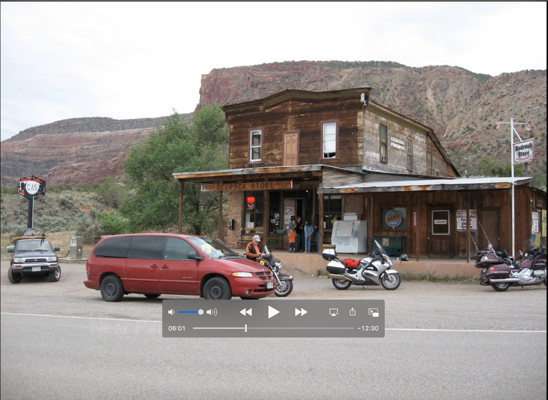
Pardon me for repeating myself but we found the last place Thelma and Louise stopped before driving off the cliff (The move, Thelma and Louise) by accident.  We needed a bathroom stop (well one of our riders did) and we stopped at the place below and were so informed. 

I believe I have found more fun things by accident than on purpose on my rides.... But, that's just me.

Logged

3fan4life
Member
*****
Posts: 6958


Any day that you ride is a good day!

Moneta, VA


« Reply #5 on: April 18, 2023, 06:09:09 PM »

Those are some good roads for sure.

When are you planning on taking this trip?

I have a few suggestions for modifications if you're interested.
Logged

1 Corinthians 1:18

luftkoph
Member
*****
Posts: 248


E U.P. Mich


« Reply #6 on: April 20, 2023, 04:19:58 AM »

From I64 on 311 to New Castle is an entertaining road
Logged

Some day never comes
Pages: [1]   Go Up
Print
Jump to: