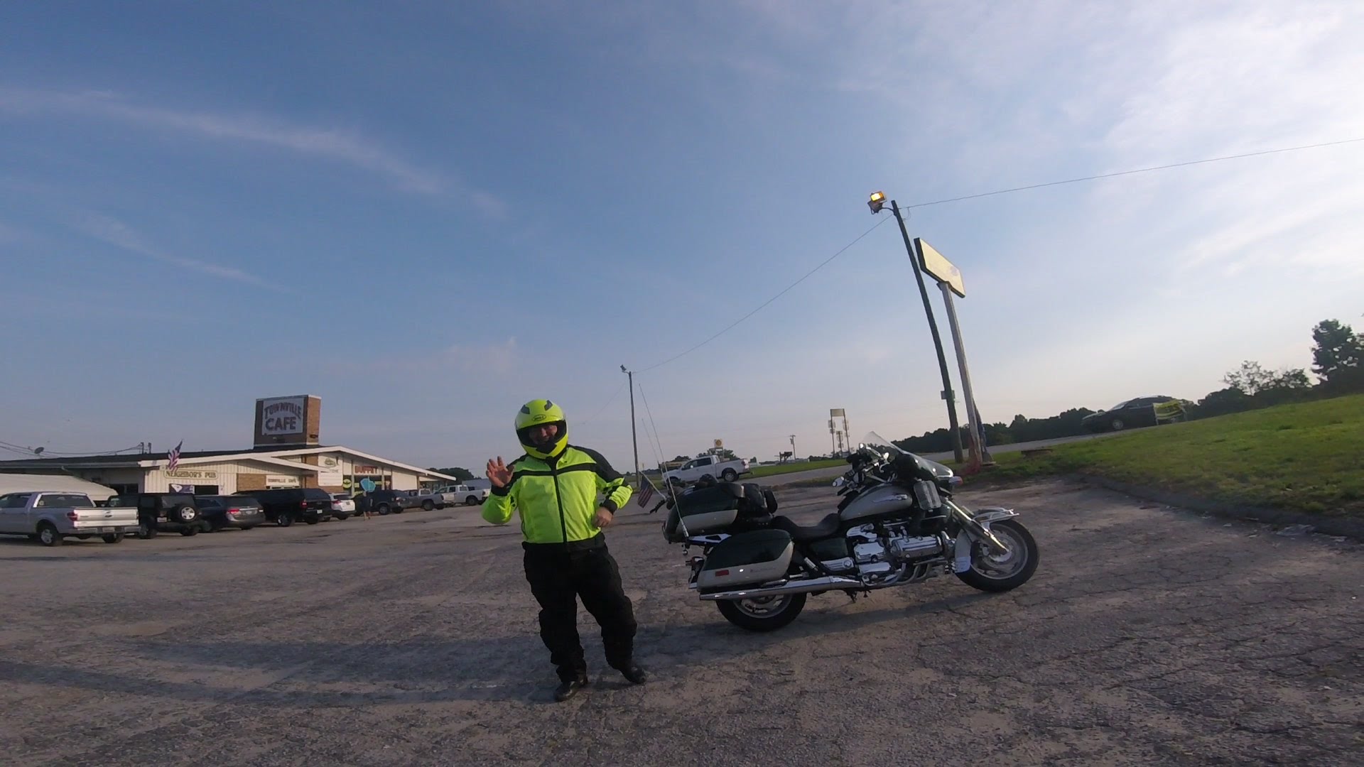
Me and Stanley Steamer traveled back and forth to InZane. We met up
at Townville SC...
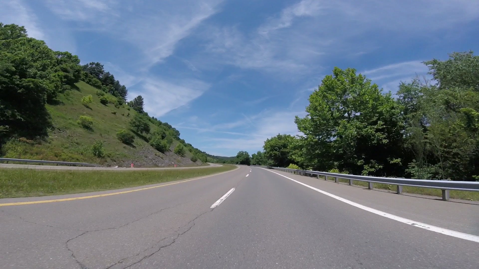
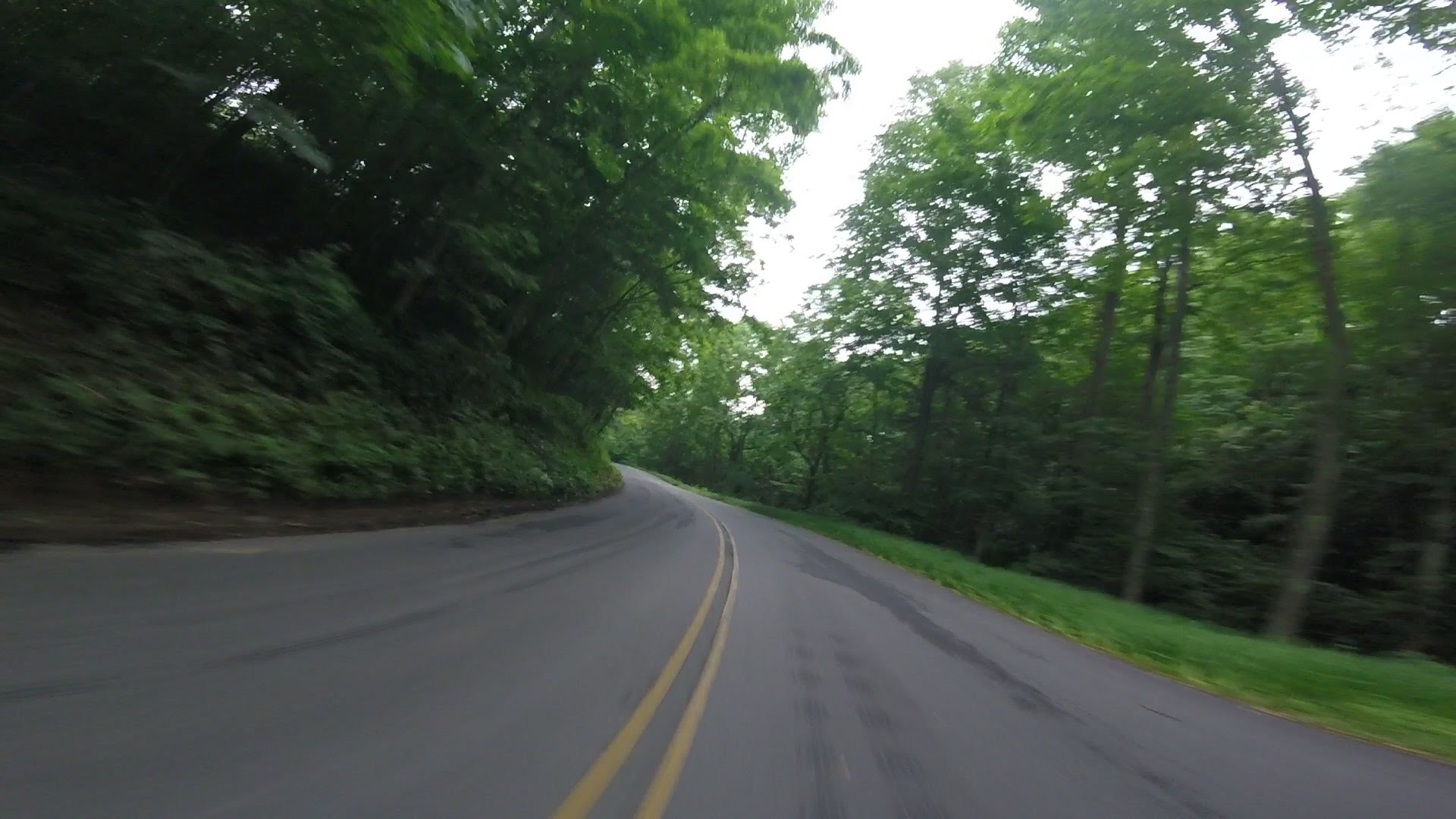
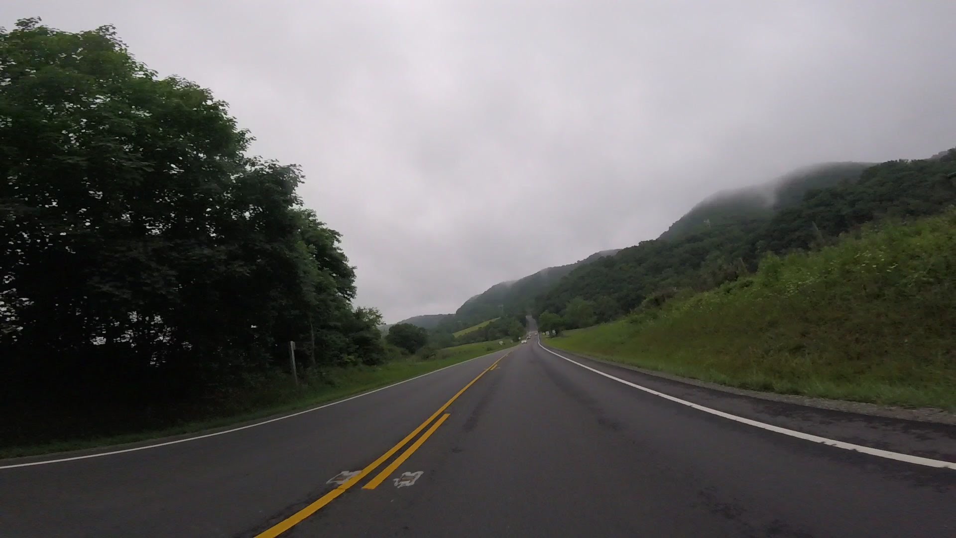
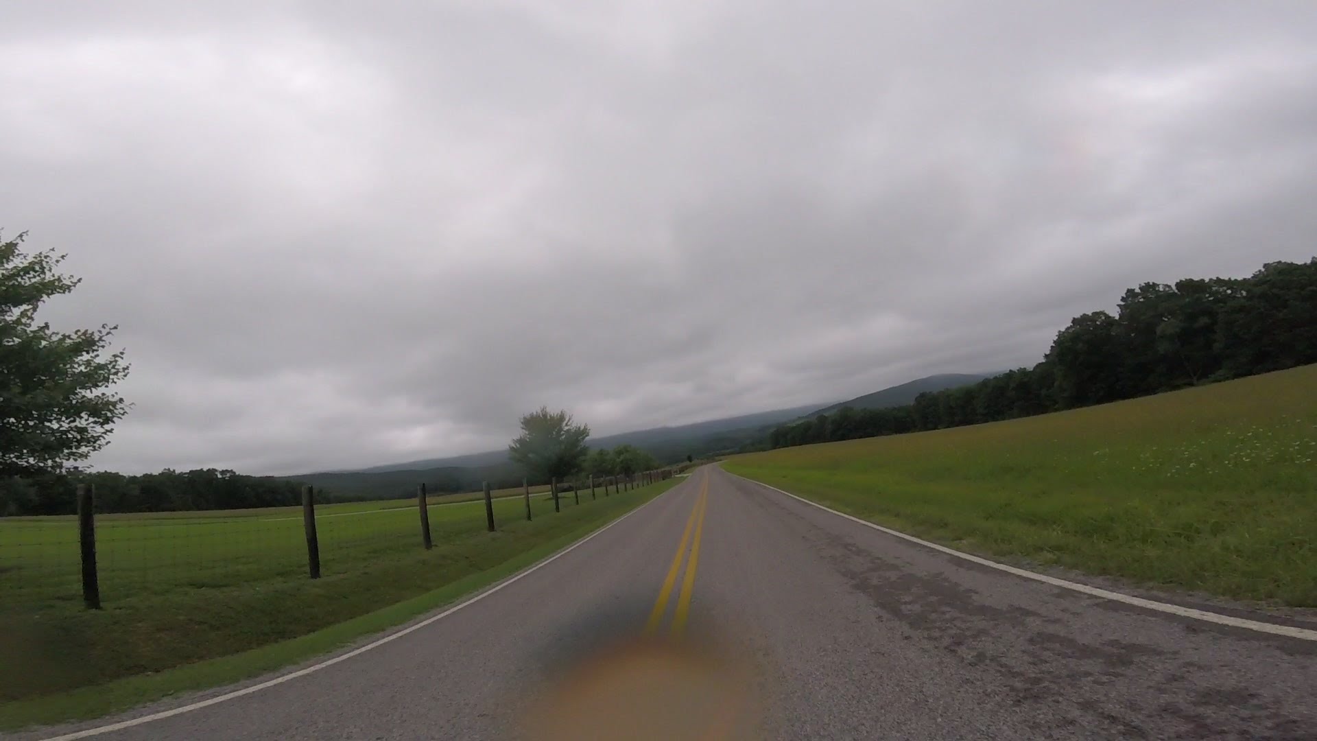
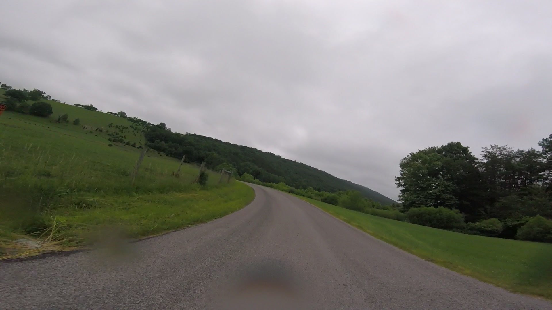
We used The Parkway some both ways.
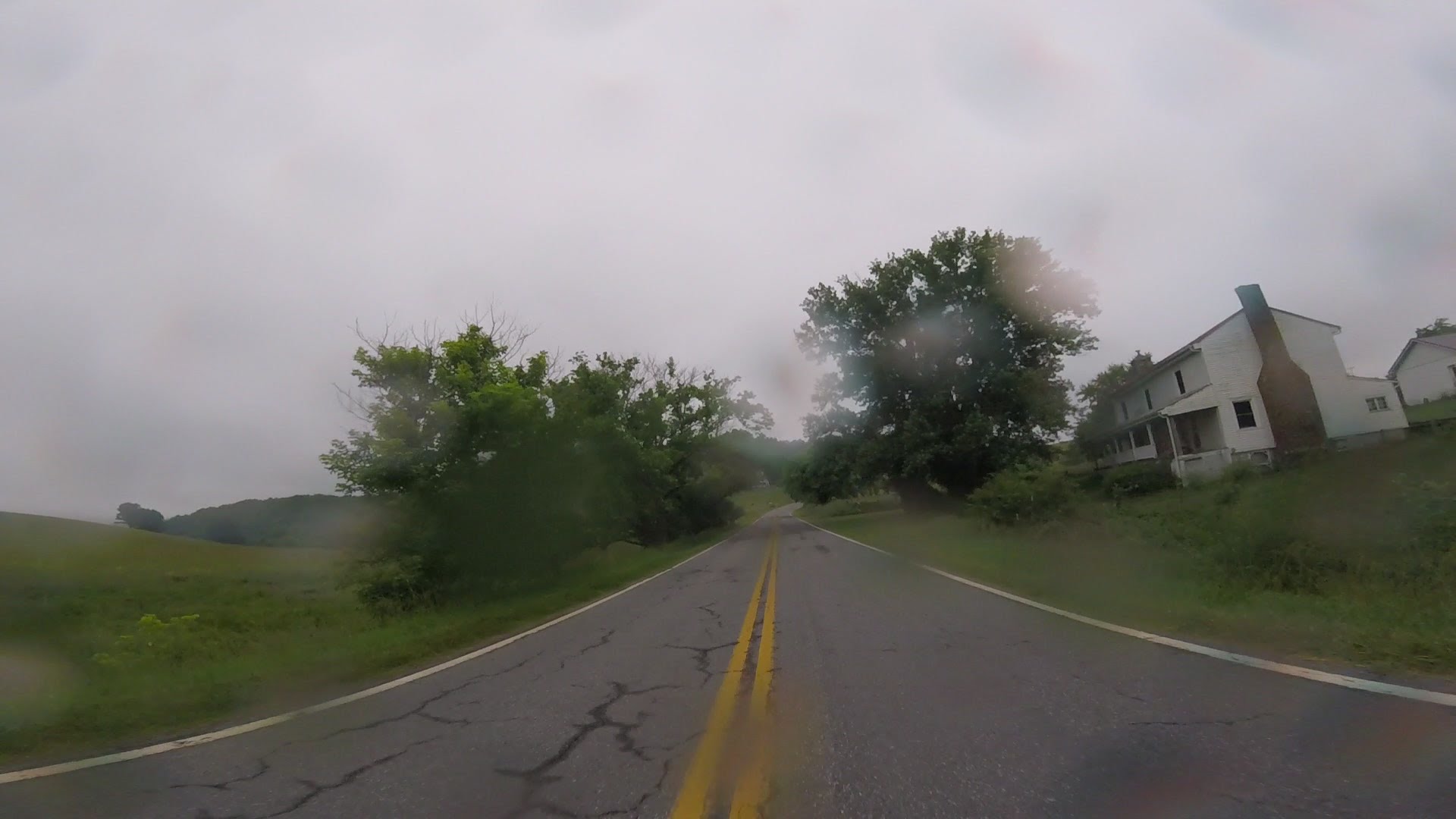
We got kind of moist around Boone. We kept thinking it wouldn't rain long,
so we kept going with no rain gear. After a while we decided it was going
to rain for a while, and we found a place with ice cream.
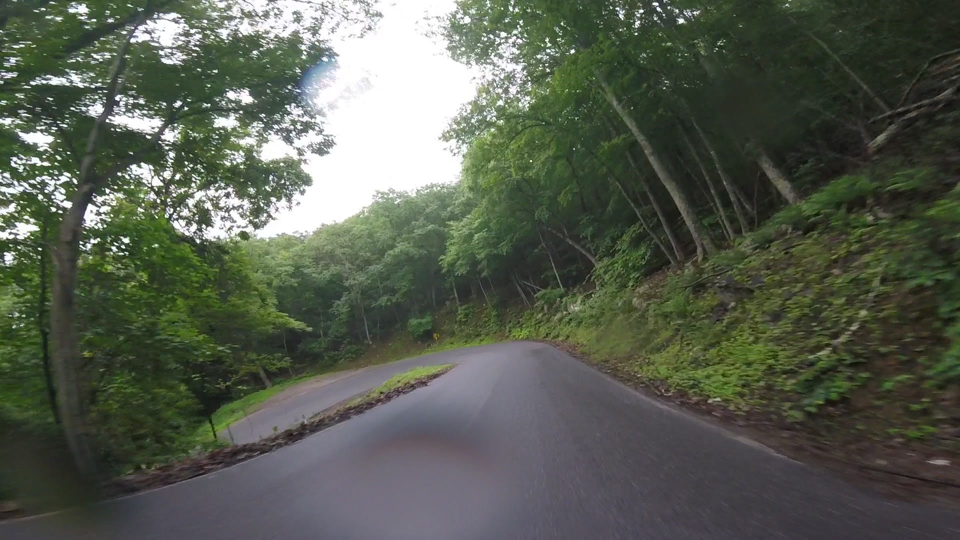
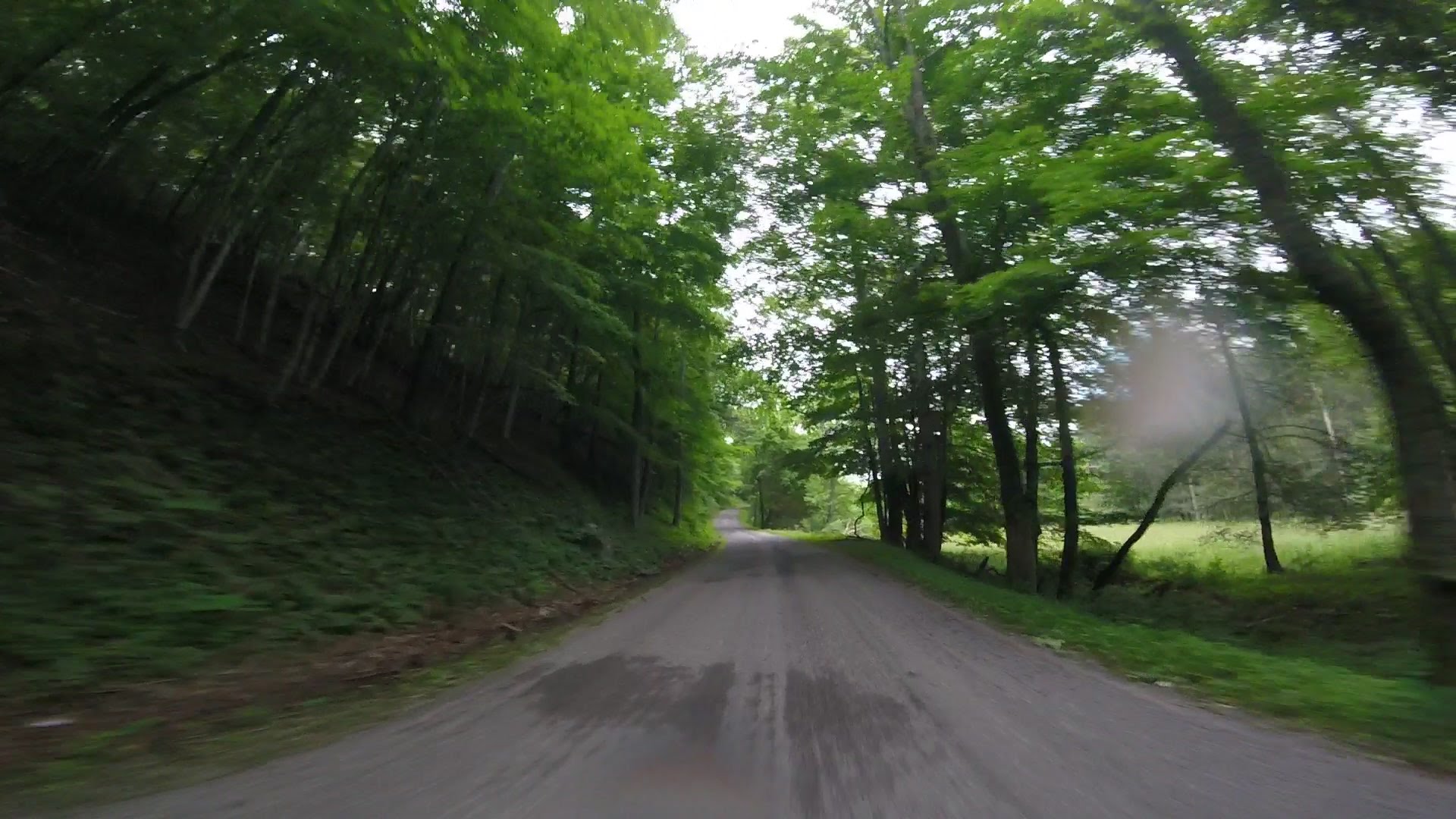
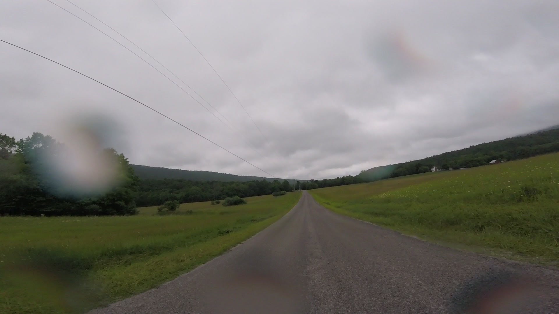
The last eighteen miles before Roanoke is thick loose pea-gravel, they advise
you not to use it, but it isn't closed. It was OK in the car-ruts, but
changing between car-ruts was kind of like crossing the wake on water skis.
You can see washboard in this picture...
We came home a pretty good route Friday. Left the motel around 10:15, I
got back here to Seneca at 8:00 pm, I guess Stanley got back to
home in GA an hour or so later. On the way home, we skipped the
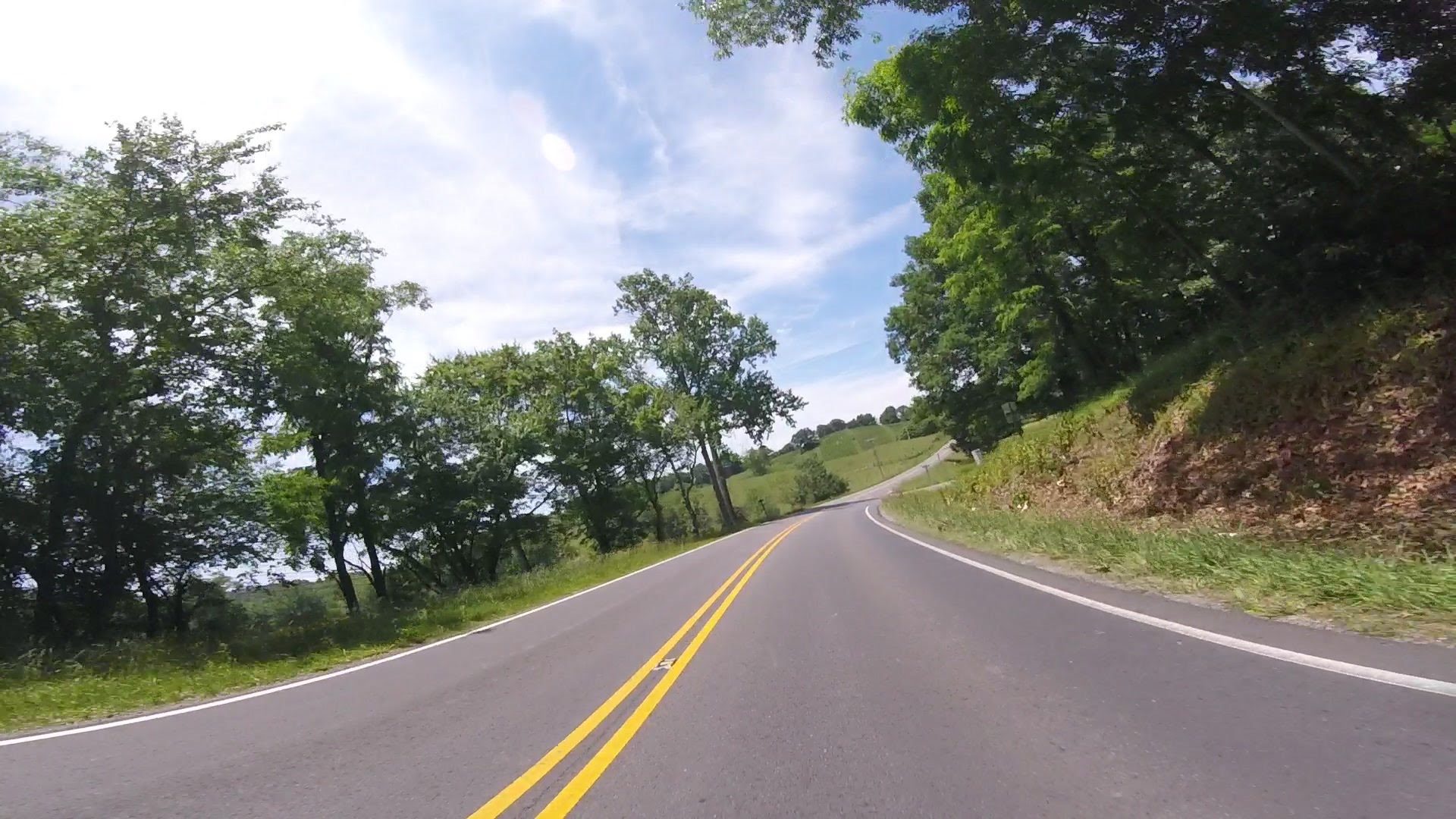
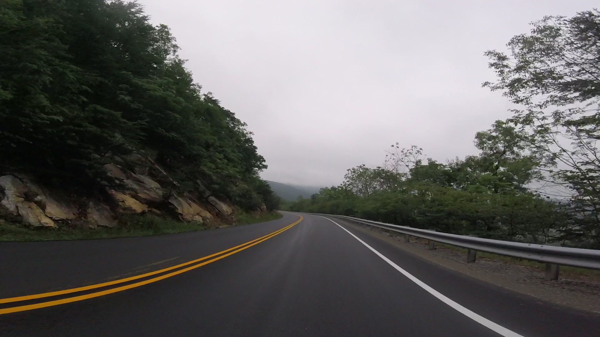
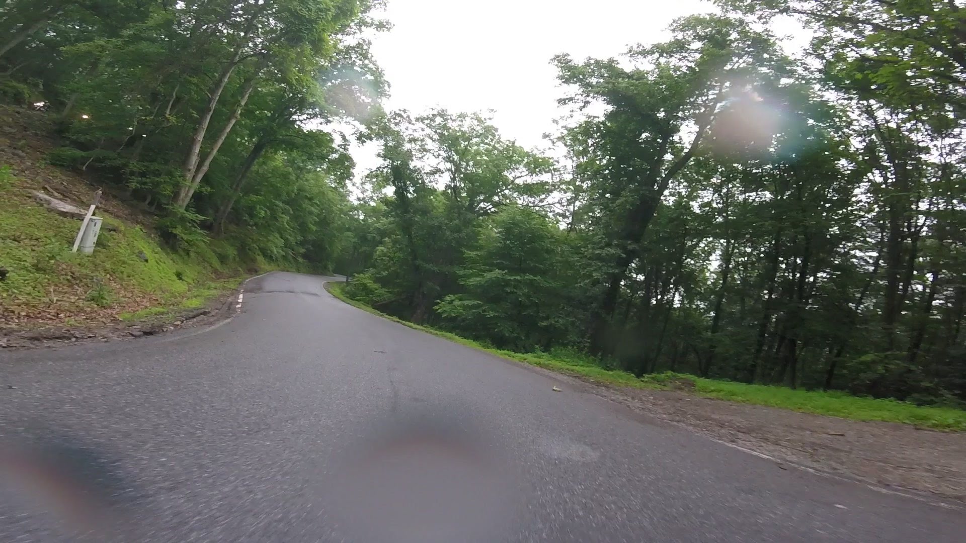
pea-gravel section of the BRP and used instead a section of 221
that has a fast tight curvy section at a place called Bent Mountain,
I bet everyone who used it remembers it.
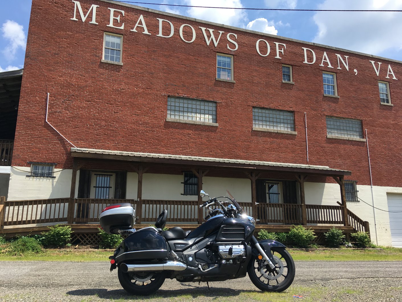
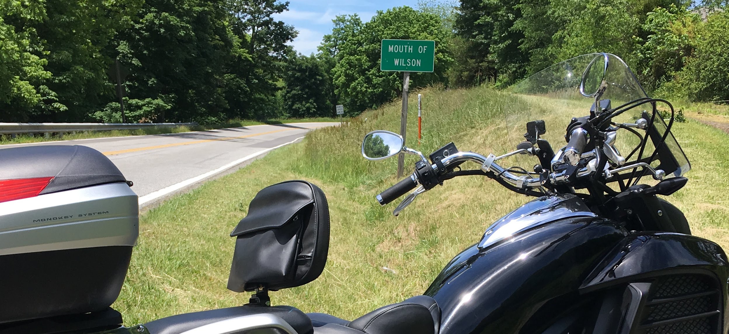
We jumped on The Parkway and then off again at Meadows Of Dan and ran down
58 a while to Mouth Of Wilson.
We ate lunch at Shatley Springs (its googleable) on 16, and then
jumped back onto The Parkway to miss going through any places
like Boone or Blowing Rock, and then back on 221 to cross over
I40.
People say they like the Cherokee to Asheville part of the BRP
the most, I guess the highest point is there and all the tunnels...
I like the mellow part of the BRP just as much.
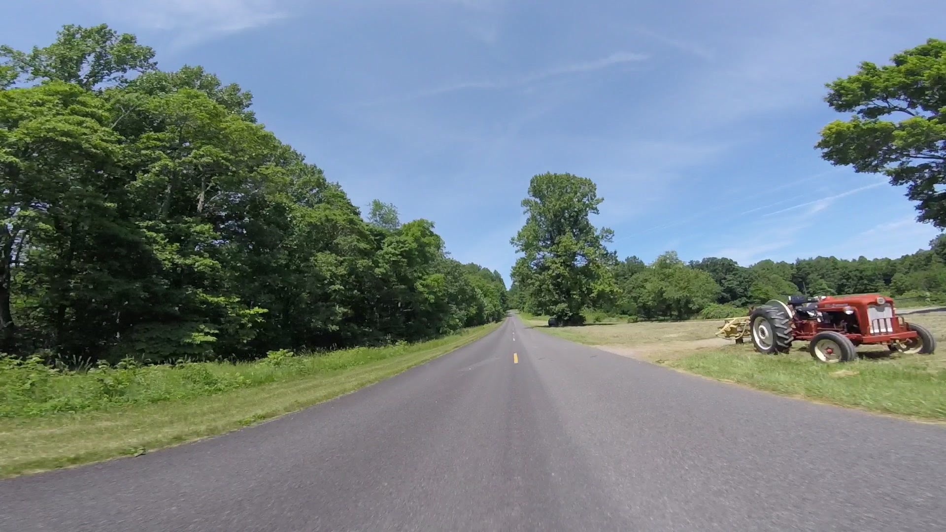
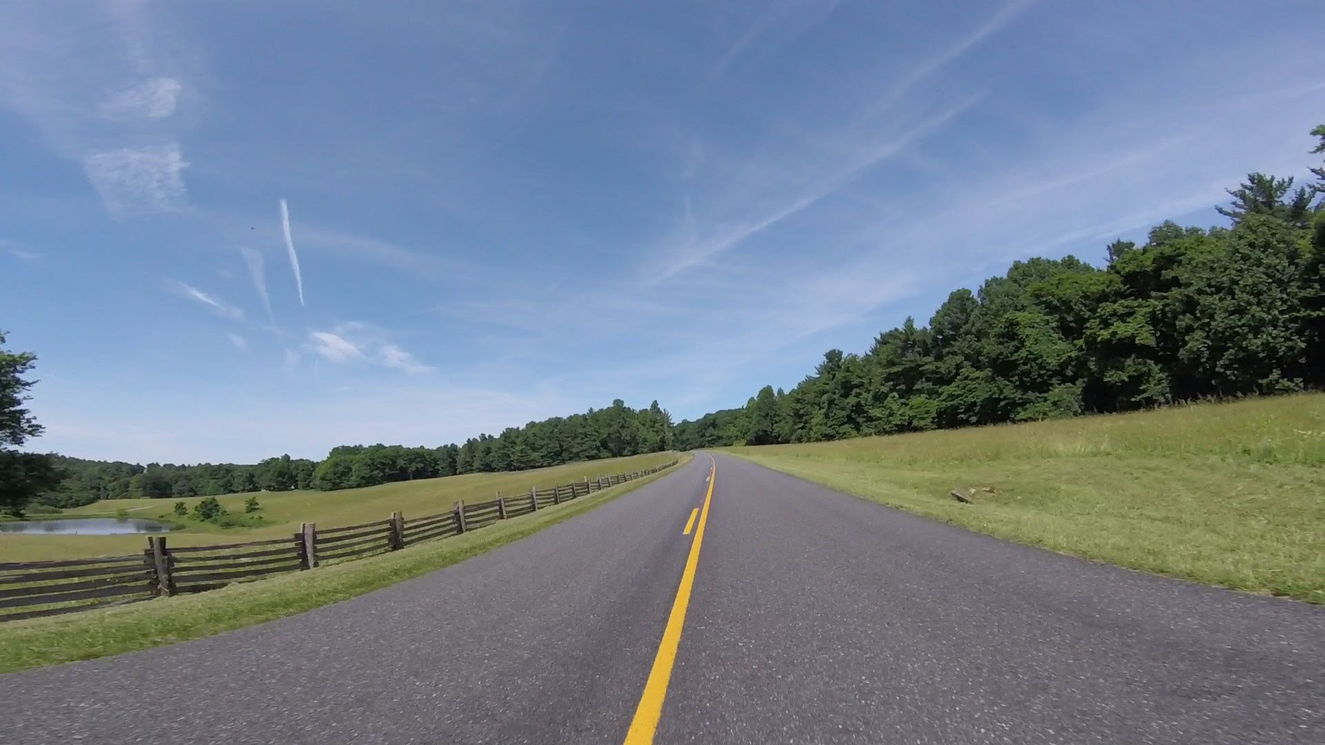
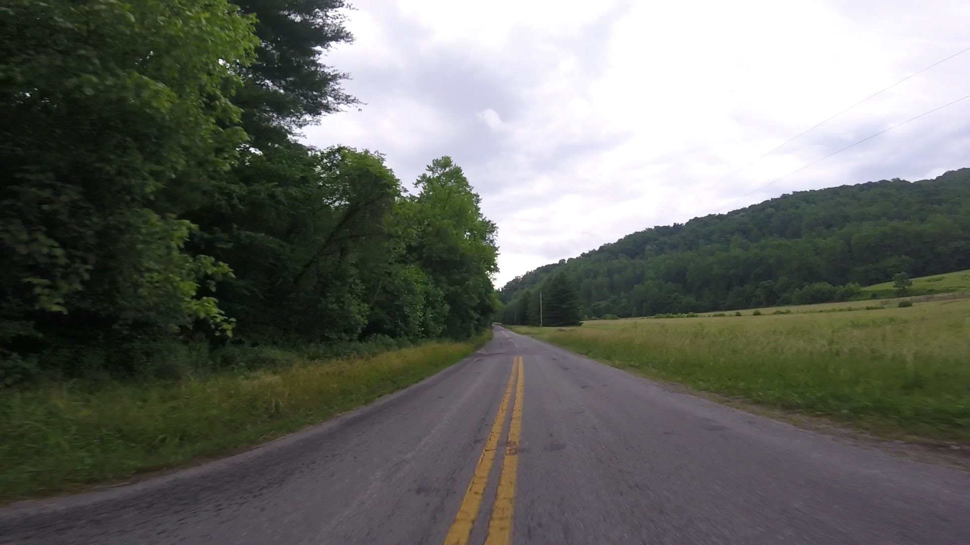
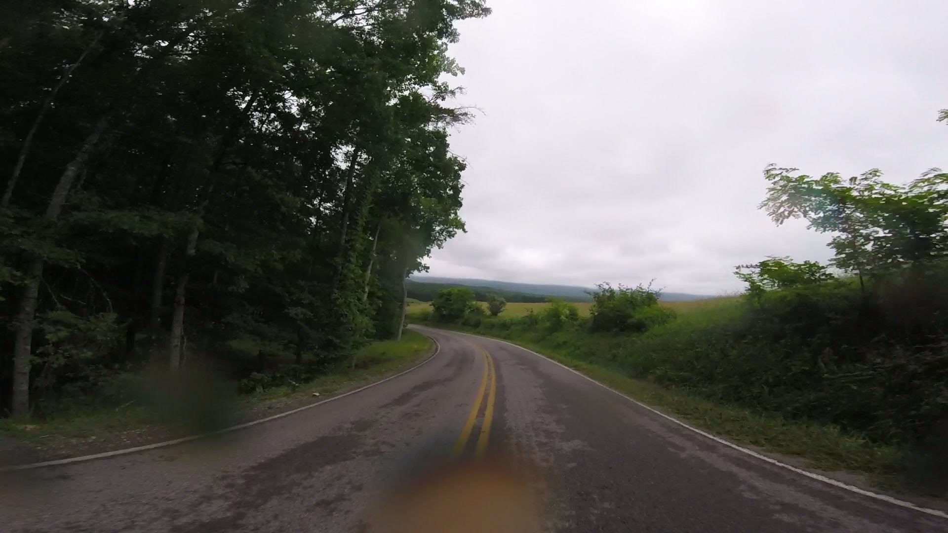
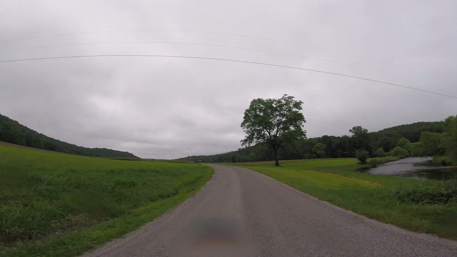
221 and 58 both have plenty of this:
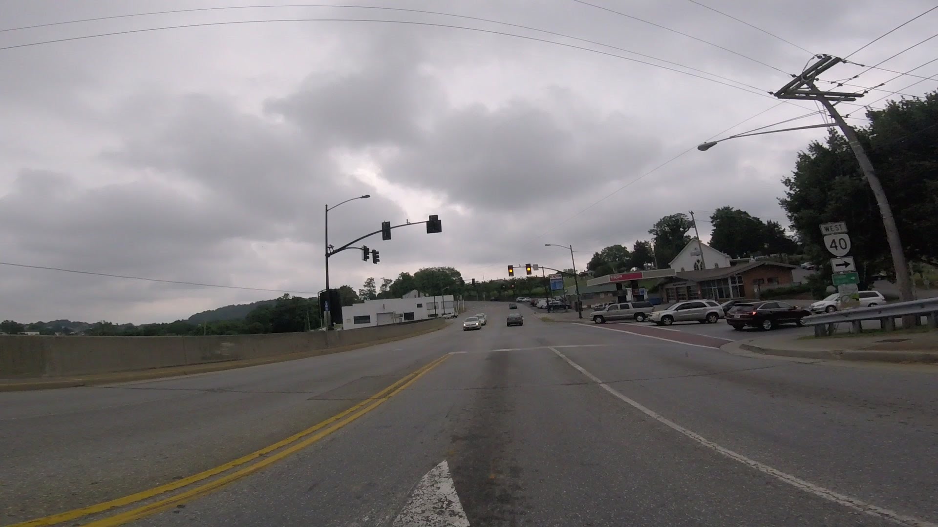
On 58 you have to go through Galax, and 221 has Rutherfordton, but on
the whole we had a pretty red-light-free ride back and forth to
Roanoke.
Anywho... it was great to arrive at InZane and find the motel
ate up with stinkin' Valkyries!
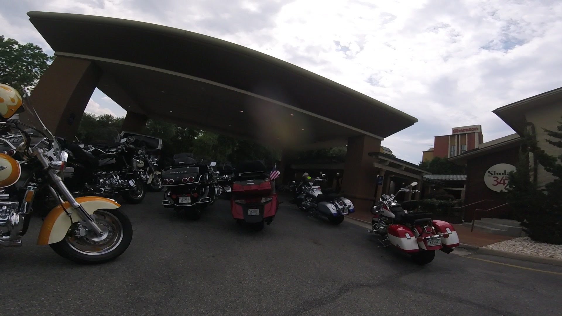
Many bikes stayed parked in parking places near where the above picture was
taken. Many folks hung out near the bikes and among the bikes each night
and drank beer and laughed and talked loud, since, besides the riding,
visiting is what they came here for. After a few days the motel started sending
people out to tell us to stop having fun. They had little success.
I ate breakfast every morning at the motel restaurant. It was set up,
I guess through the VRCC?, that breakfast was free for us.
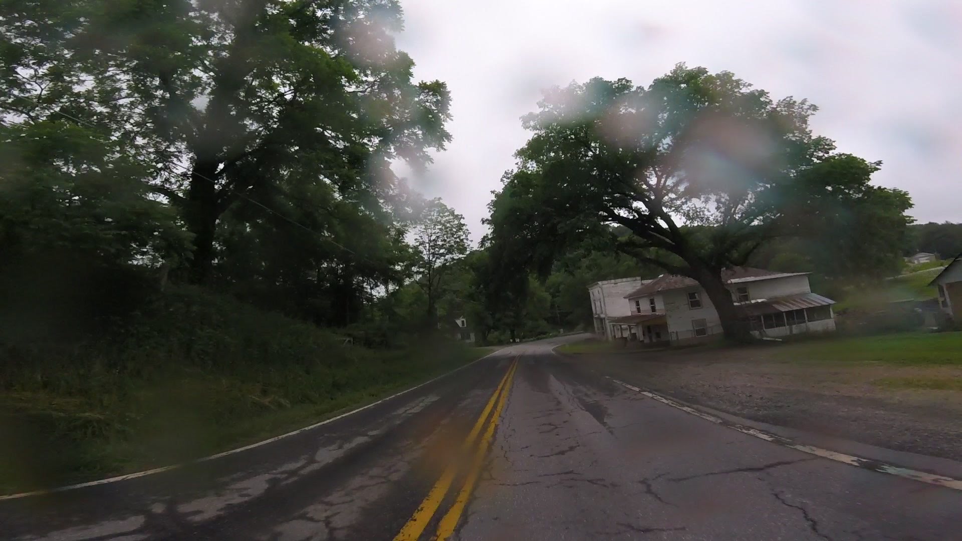
Joe wanted to go on a Red Book ride, so I looked for a few roads
that would be good for Monday. I took us around the edge of town,
through a bunch of red lights it turns out, to 221 South and down
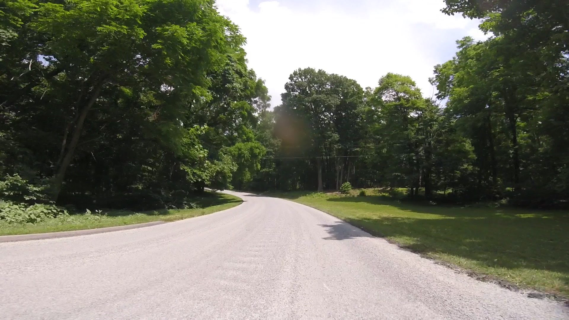
The 602 (The Callaway Road)...
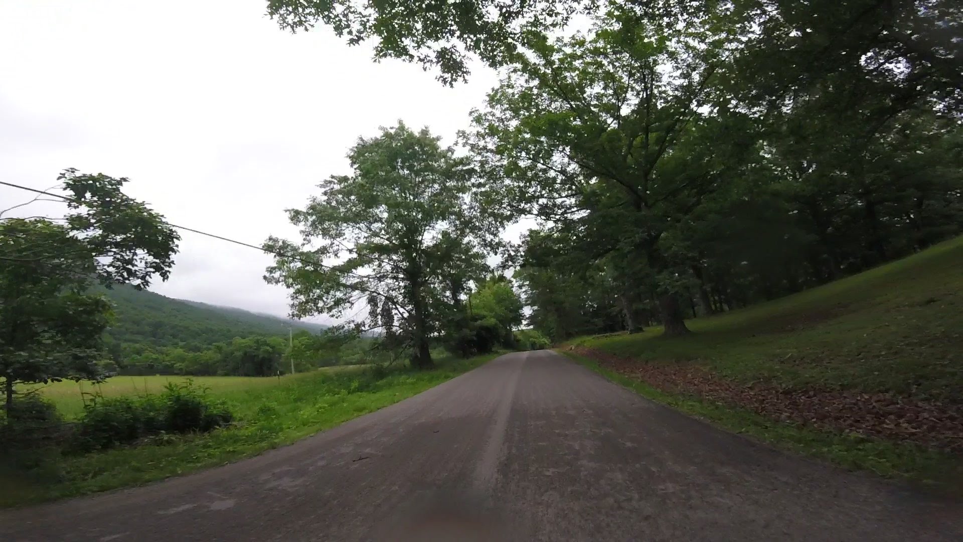
The 602 turned out fine:
From there we needed 40 West. Here's me lining everyone up to take
a 5 mile detour down 40 East through bad traffic first, though:
40 turned out nice too.

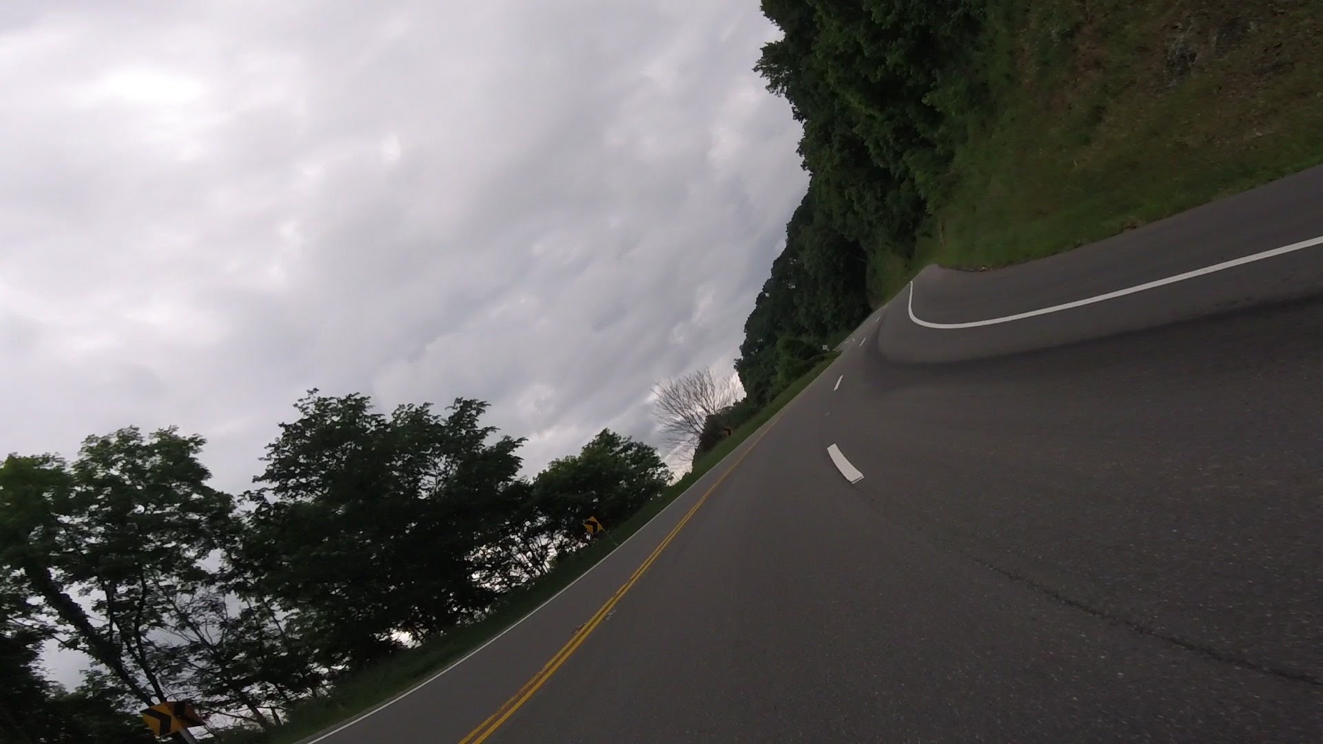
Then 8 back to 221 and back to the motel. Somewhere in there we came to
tight uphill twisties that lasted several miles and charged them pretty good.
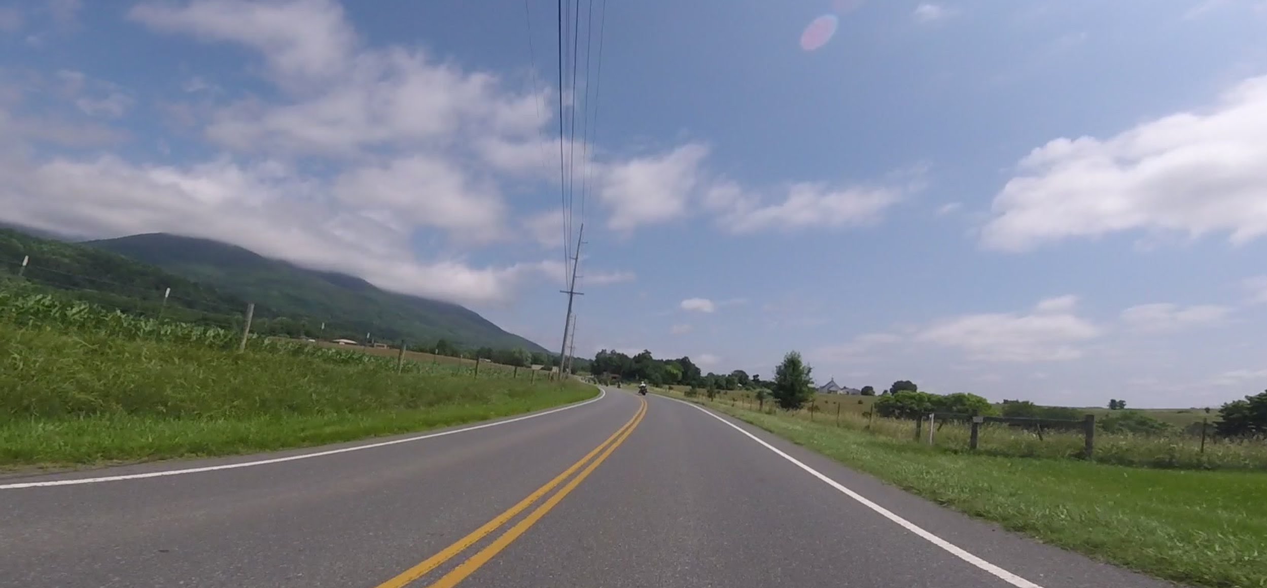
On Tuesday people still hadn't had enough of the Red Book, so we went
on a ride up north of 81.
It was a little chilly and drizzly. It was easy to get to a nice road, 311,
about six or so miles from the motel.
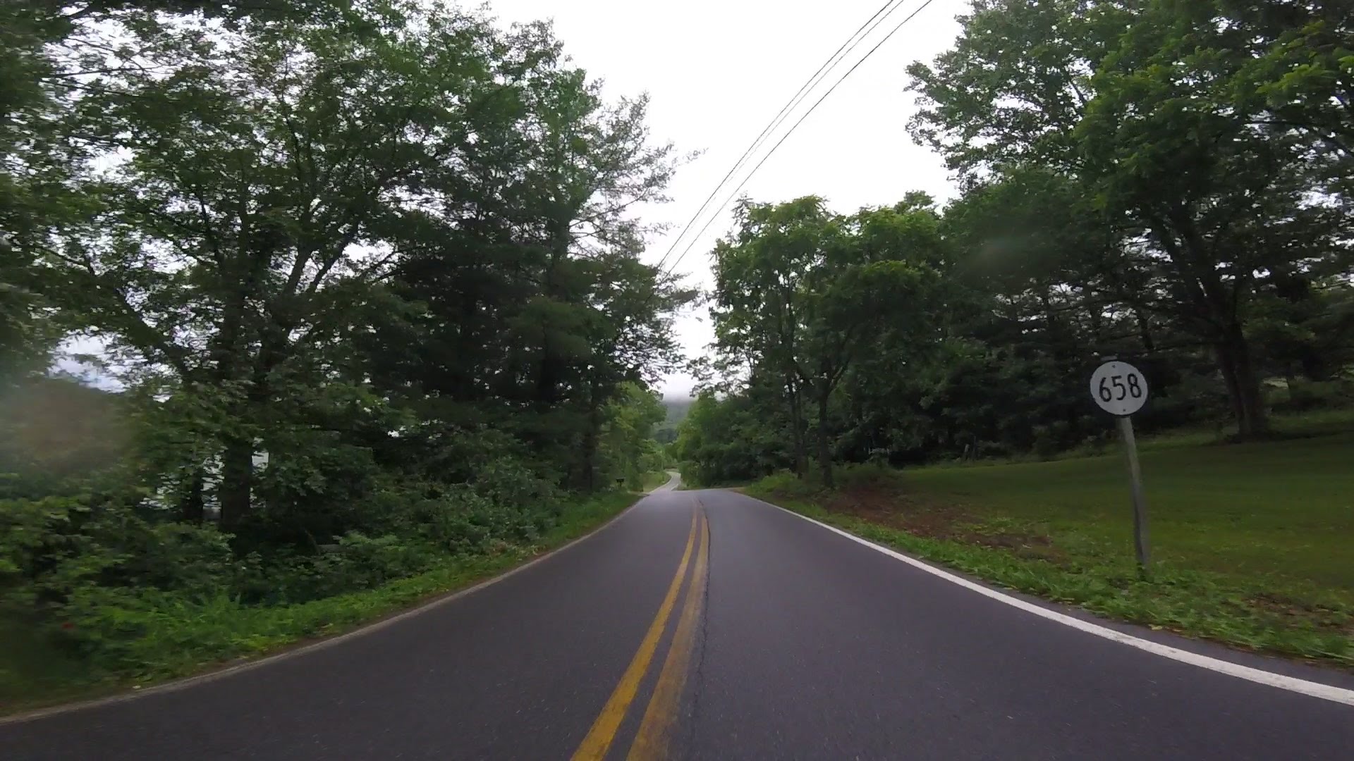
Then down 42...
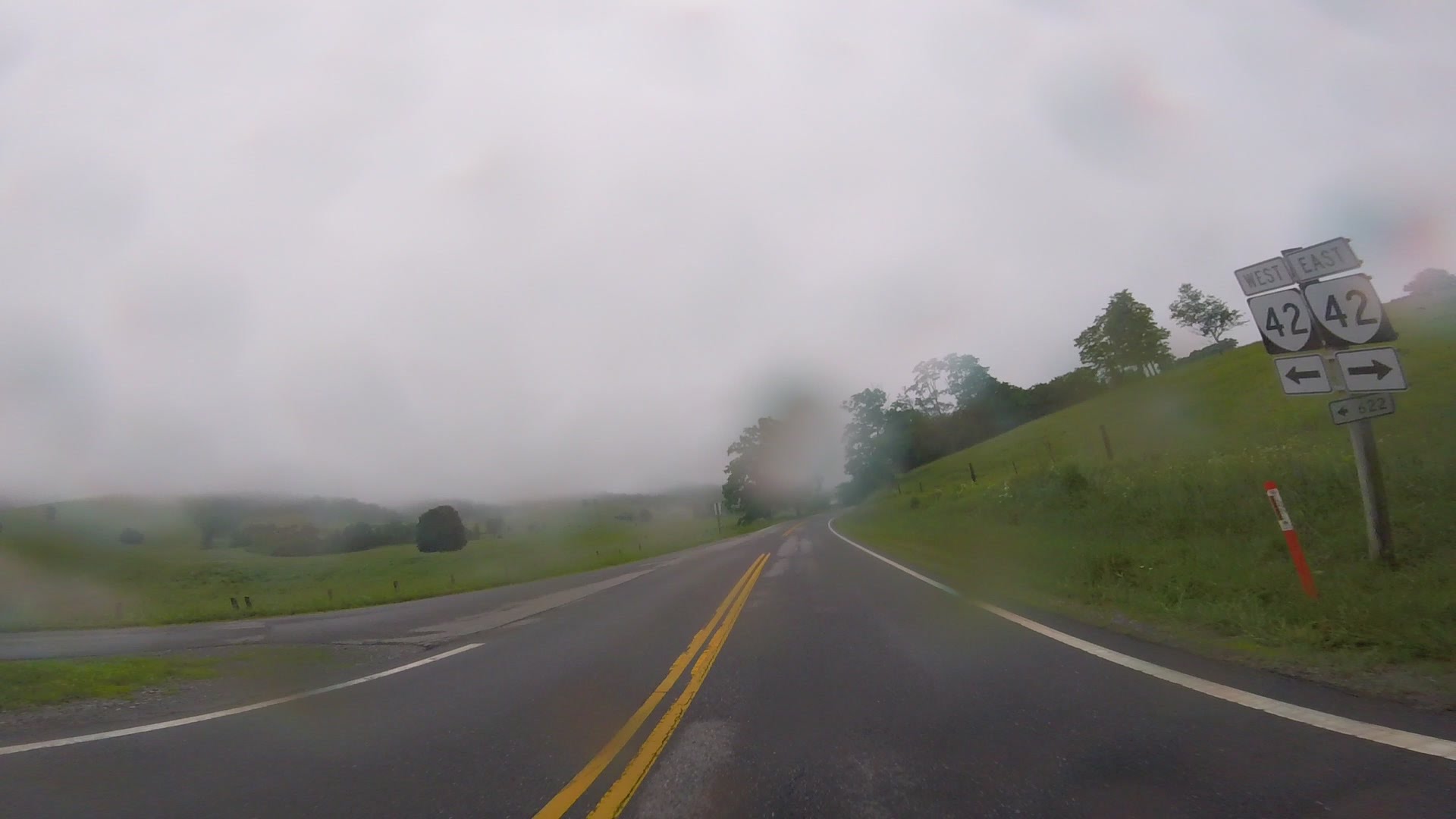
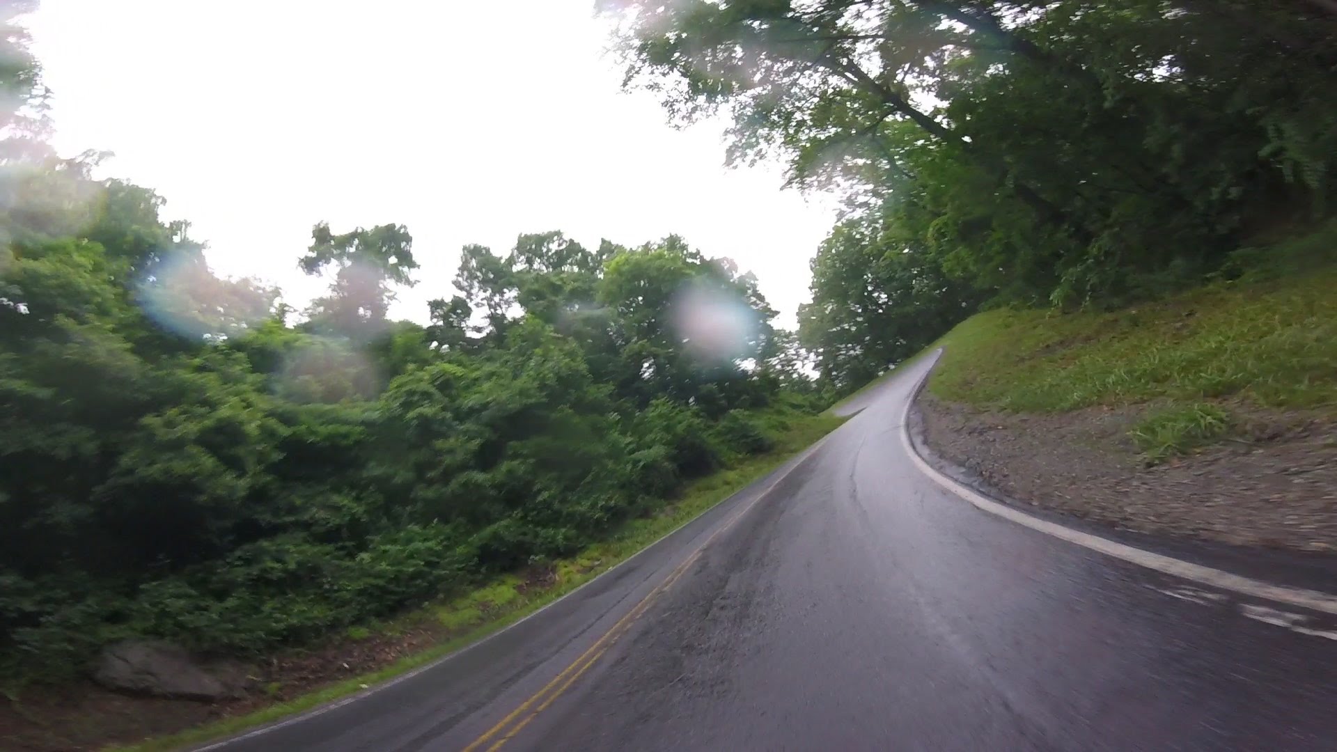
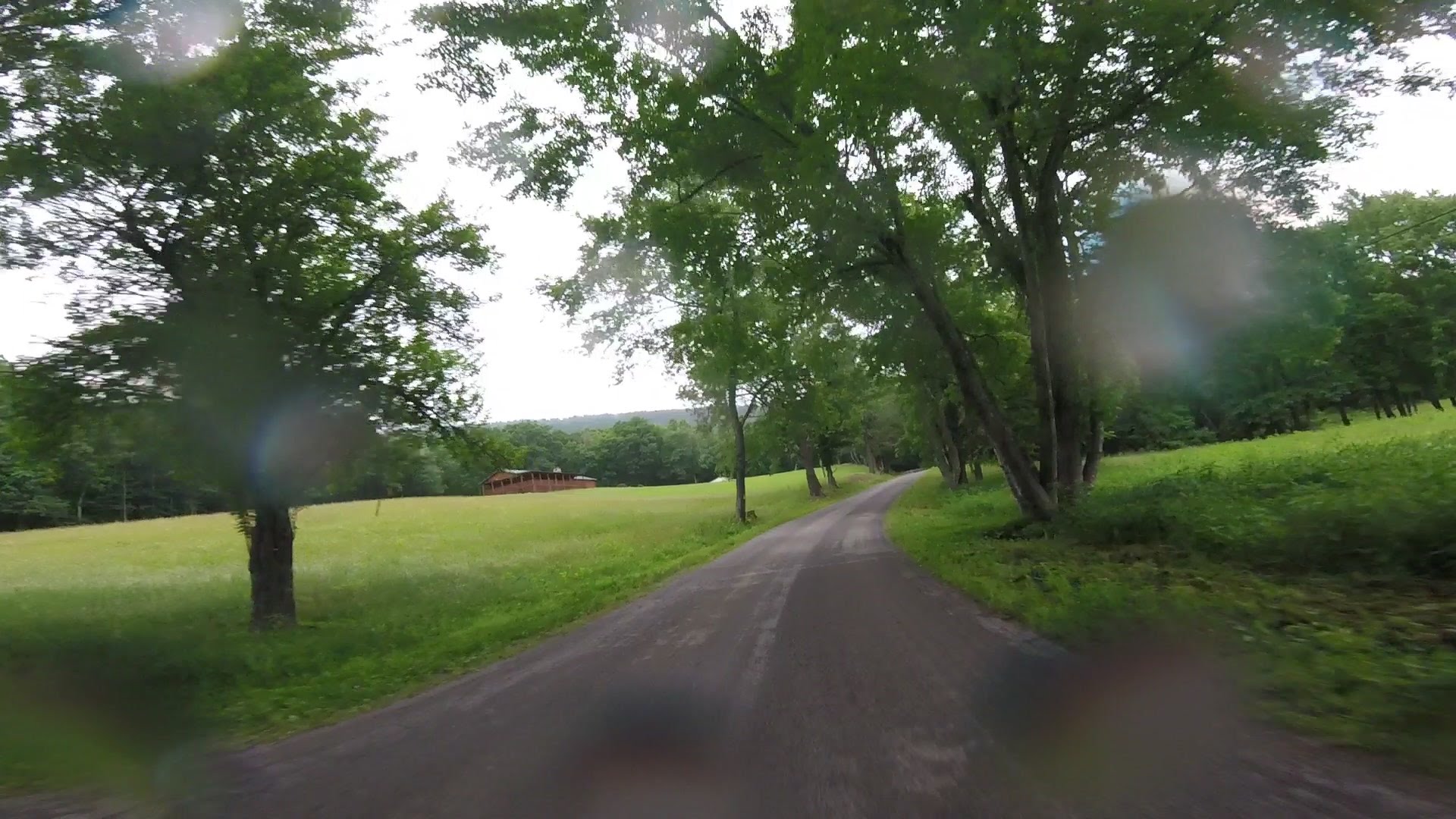
After 42ing it for a while we turned off onto 658... 658 was a magical
road, and it and the next road (632) seemed to go on forever.
Here's going into a switchback and seeing the other riders when coming
out:
From there we moved onto 632...


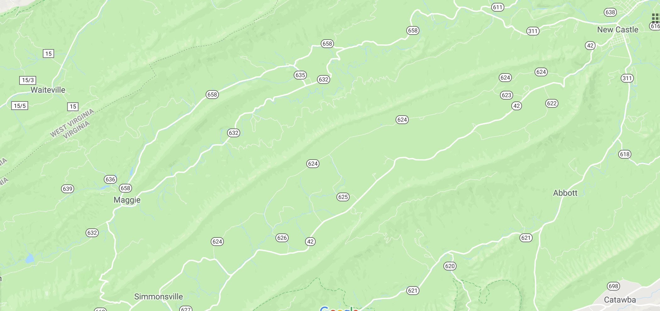
The ride was basically this area:
After we circled back to 311, several folks headed back to the motel,
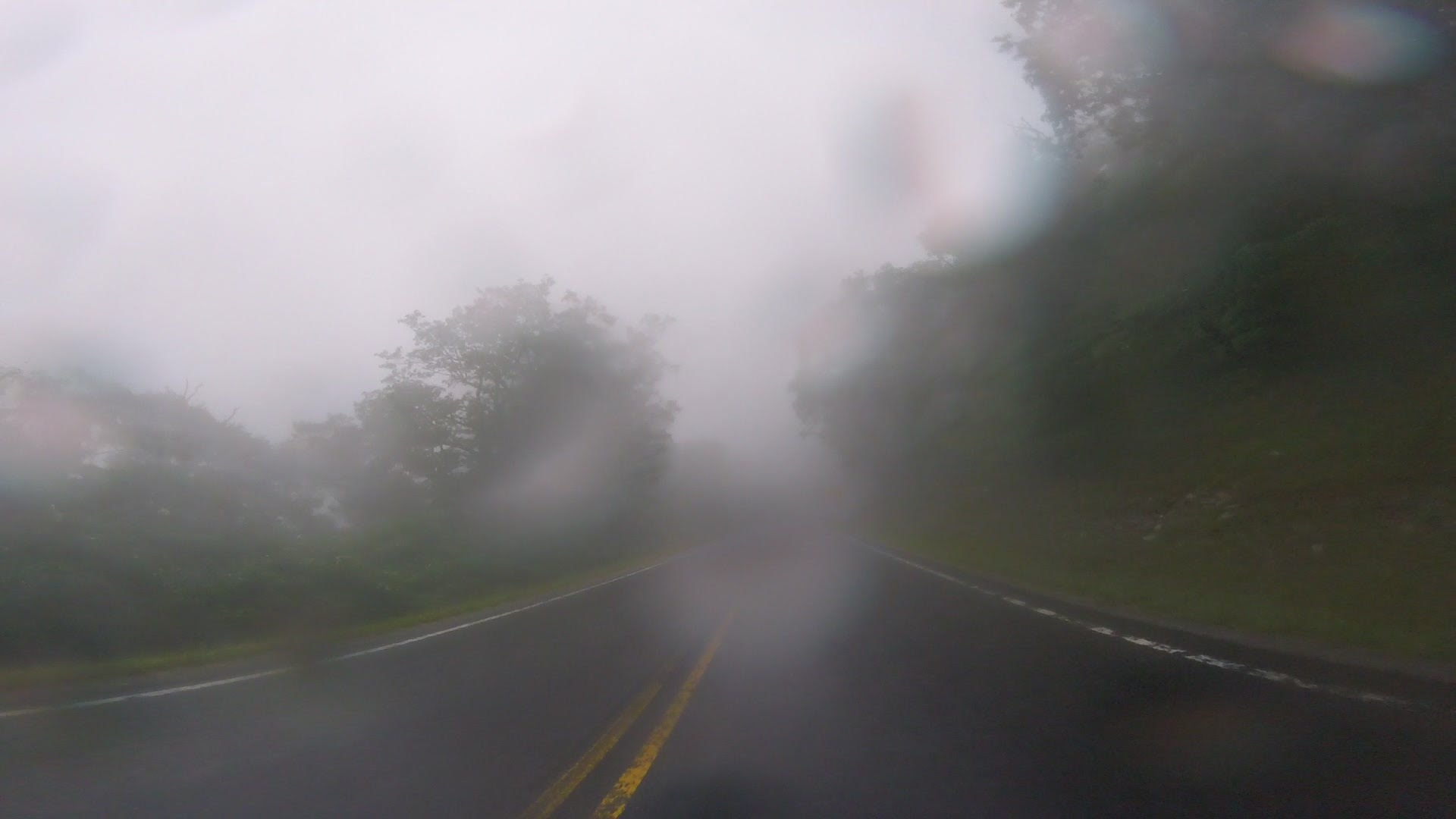
and the more adventurous of us headed to Paint Bank on 311. We had to
go over a hill top that kind of protruded into a cloud. If I could have
figured out a safe way to chicken out, I would have, but just keeping on
going seemed best:
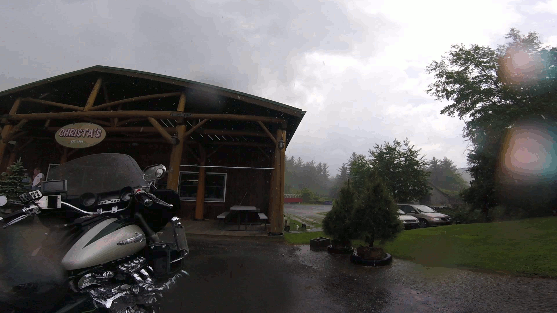
After we got over the top, we could see again, and we made it to Paint Bank.
There's a little country store there, with a nice restaurant inside. The cloud
was lessened when we headed back over 311 back to the motel.
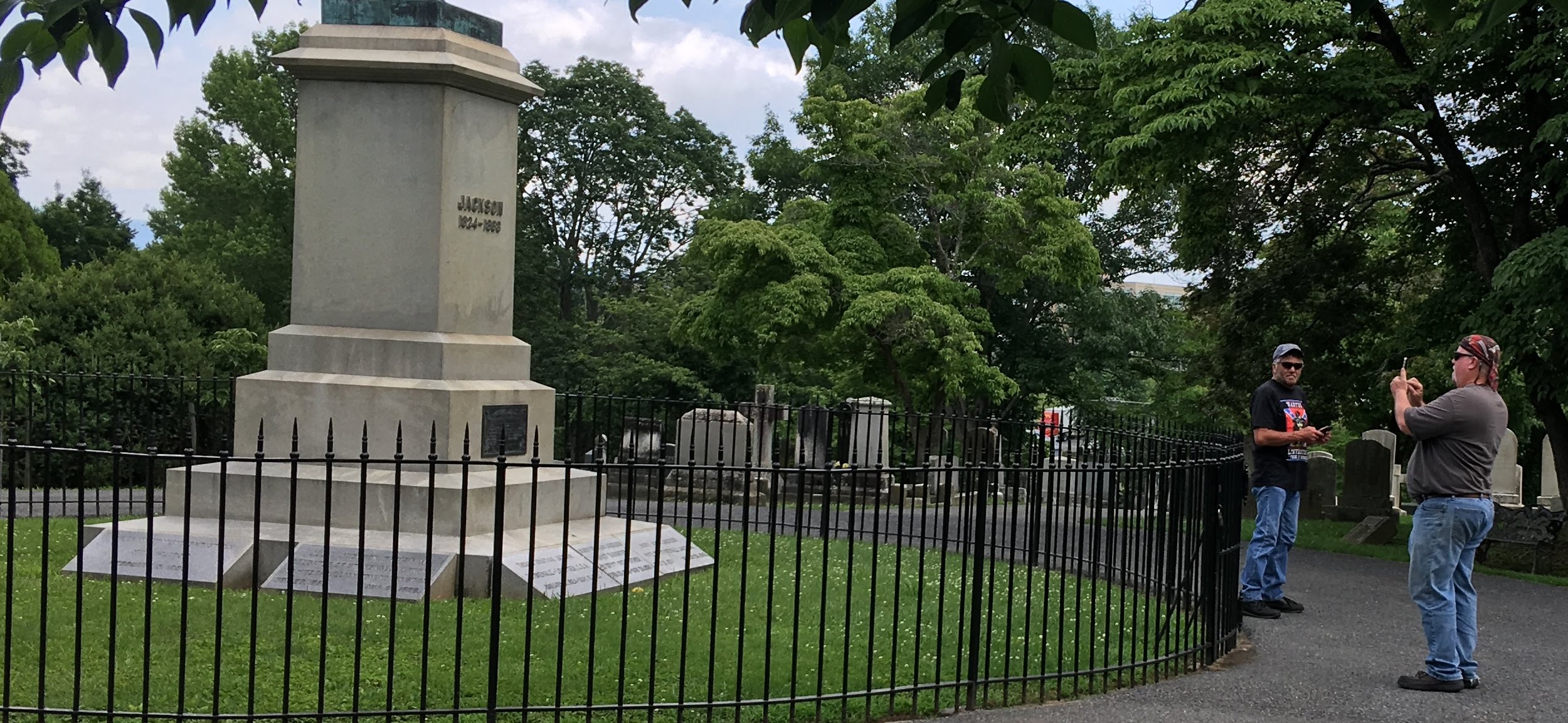
On Wednesday a bunch of us followed Mark (3fan4life) from 10:00am until about
8:00pm on a long winding route with lots of historical stop-overs. We stopped
at Washington & Lee at the Lee Chapel. We stopped at Stonewall Jackson's
grave site. We came to a giant waterfall that had previously been moved to
its current location to facilitate a mining operation. We stopped at a
covered bridge.
The covered bridge was our downfall... you had to travel down a snakey
little road to get there, and we traveled the wrong way down the snakey
little road when we left. Pretty soon we were on dirt, and pretty soon
there were some pseudo-gnarly hills to climb. Everyone handled the dirt
with no trouble.
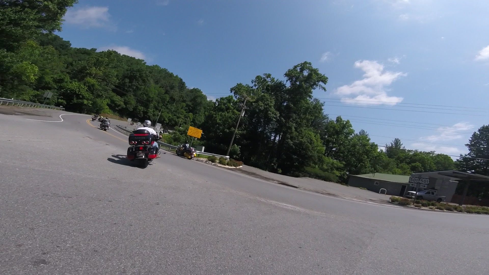
I don't really know Mark's route, I just followed... we were on
the 501 for a while:
Here's us at Stonewall Jackson's cemetery:

Here's Joe and Rodney at Stonewall's grave site. There's a fresh lemon's
been thrown at the foot of the statue.
 http://www.vmi.edu/archives/stonewall-jackson-resources/stonewall-jackson-faq/
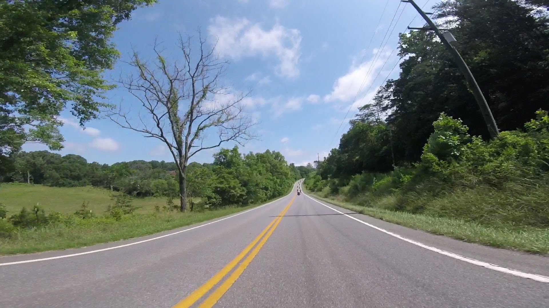
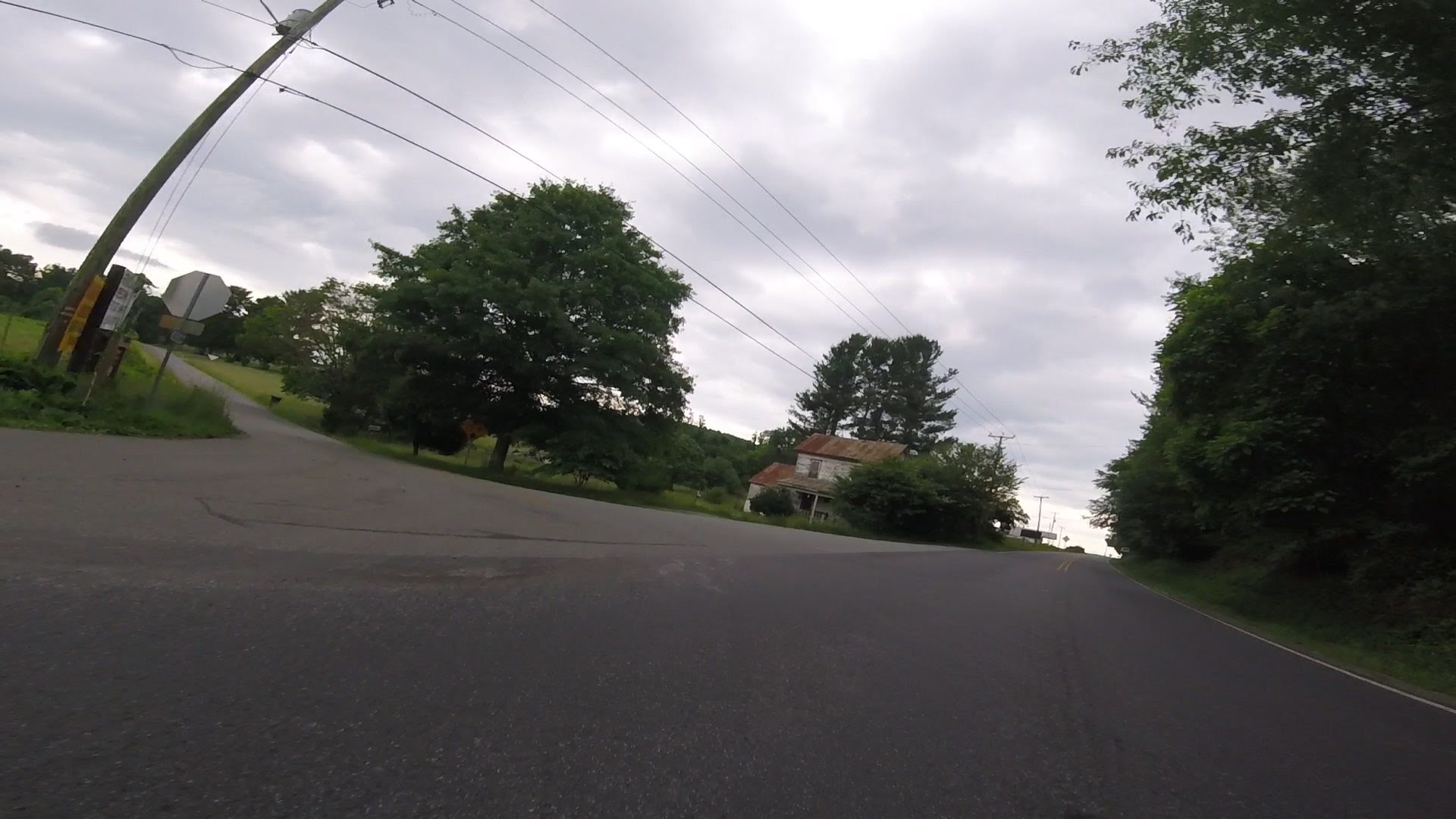
Too bad I put the smaller SD card in the camera on Wednesday, I don't
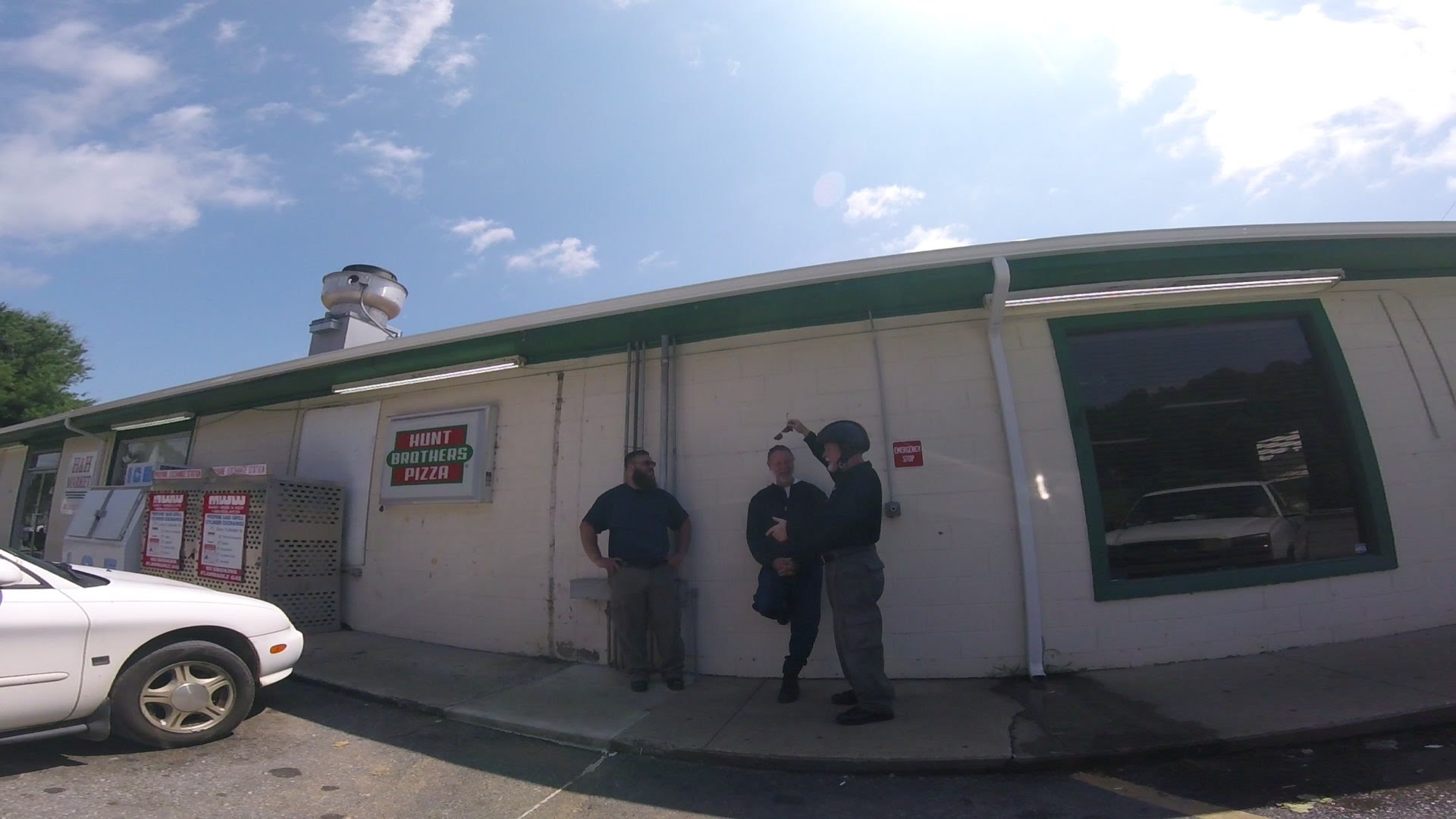
have any pictures of the dirt road. We made a gas stop and I used
the last twenty minutes or so of space on the SD card for this:
Another great InZane!
-Mike


