Saturday we rolled out of Clinton , Tennessee headed for The Motorcycle Playground of 2 Mountains , 3 Valleys and 489 curves.
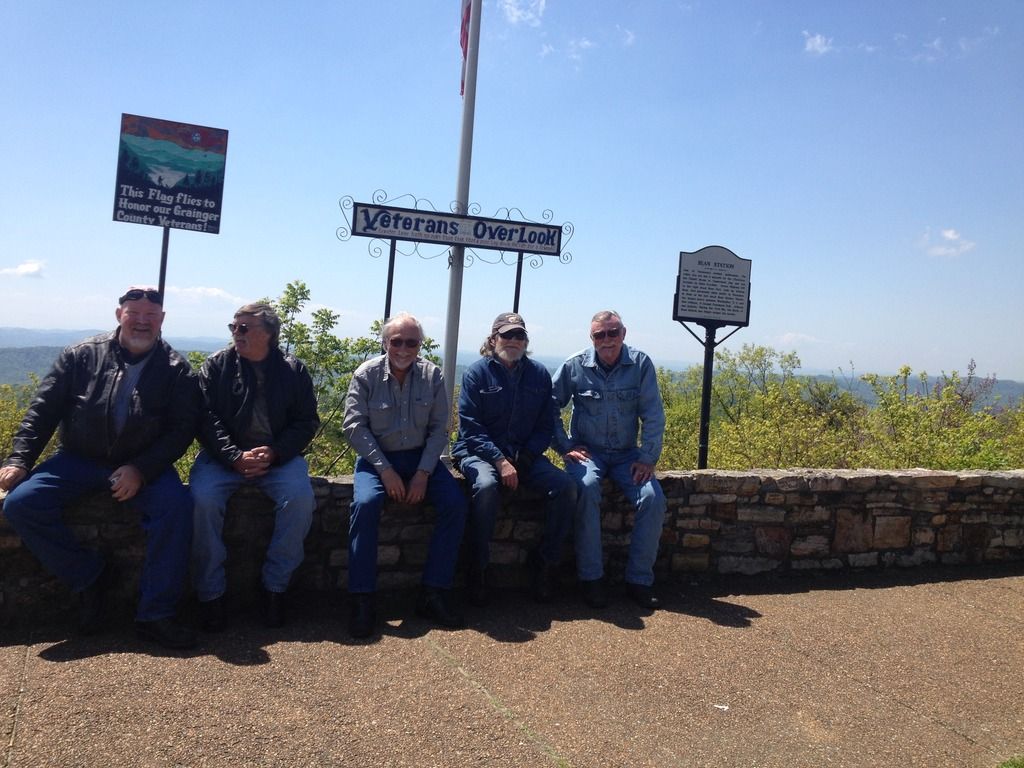
First couple picture at The Veterans Memorial in Bean Station, Tennessee.
The Great Wilderness Road, also called Boone Trail and Stagecoach Road was the main route from the east coast of the United States westward to Kentucky and Tennessee in the early days of this nation. Frontiersman Daniel Boone blazed the trail which followed the Cherokee Great War Path and pioneers began traveling it to settle in the new territory. Postal carriers and later stagecoaches brought news and much needed supplies up the same route. To day the original roadbed and tree lines still remain.
Bean Station, a primary location on the Great Wilderness Road has been an important crossroads since the first settlers arrived. Here, U.S. presidents visited, a Civil War battle was fought wealthy Americans Vacationed at grand hotels and when electricity was brought to the valley beautiful Cherokee Lake was created.
William Bean and Daniel Boone were the first white men known to have viewed the land around what is now Bean Station on a hunting trip in 1775, while following the Cherokee Great War Path on their way to Kentucky. Boone then extended the road built by the British government to Kentucky. The route became the main thoroughfare used by Frontier settlers. Legendary frontiersman Davy Crockett spent a great deal of time in the Bean Station area, having grown up in east Tennessee.

Right to Left .... Barry , Hal , Harley Joe , Greg and Bruce.
Backbone Rock Recreation Area is located along Beaverdam Creek in northern Johnson County. Backbone Rock gets its name from a spur ridge on Holston Mountain that abrubtly ends at a bend in Beaverdam Creek.
A tunnel was drilled through the rock in 1901 to allow railroad access between Shady Valley and Damascus, VA. Motorists pass through what is known as "The Shortest Tunnel in the World" as they travel along TN 133.

Barry's ( Bighead ) Interstate or as I like to call him " My large headed friend " . Beautiful bike


Sunday we hit The Blue Ridge Parkway . What a awesome ride the weather was perfect with very little traffic to deal with. These next pictures are from Mt. Mitchell , NC.
Mount Mitchell is the highest peak of the Appalachian Mountains and the highest peak in mainland eastern North America. It is located near Burnsville in Yancey County, North Carolina, in the Black Mountain subrange of the Appalachians, and about 32 miles northeast of Asheville. It is protected by Mount Mitchell State Park and surrounded by the Pisgah National Forest. According to National Geodetic Survey data of August 31, 2012, Mount Mitchell's elevation is 6,699 feet above sea level, 15 feet higher than the 6,684 feet that had been its official elevation since the mid-twentieth century.


Last picture ... Money Shot ( with luggage ) .... We lost Hal for awhile and did some trail ridin' to circle back looking for him. This was literally the middle of nowhere near the NC / TN state line.


